
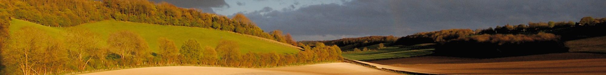
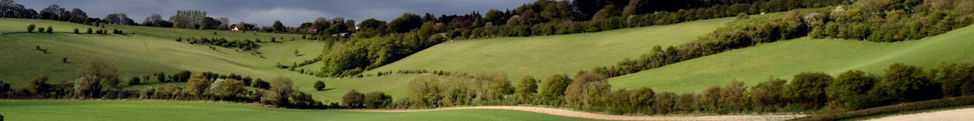
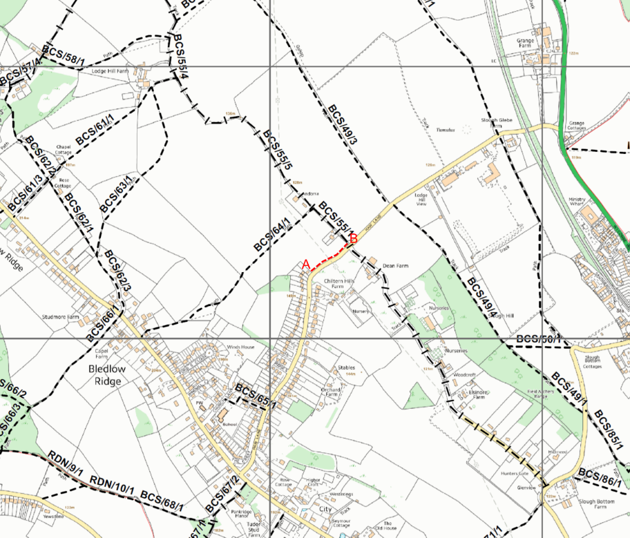
A new “Permissive footpath” has now been opened running alongside Haw Lane. It runs from Bledlow Ridge North East towards the A4010, as marked A to B on an extract of the Buckinghamshire ‘Definitive Map’ below.
The Parish Council would like to thank the Landowner for generously allowing the right of way across their land for the use of ramblers hikers and dog walkers.
Previously there was a gap in the footpath network and in recent years there have been a number of near misses between vehicles, horses, cyclists, ramblers and dog walkers all trying to negotiate a dangerous stretch of the road. The new footpath means users can avoid the narrowest and steepest part of Haw Lane making it much safer now that it’s ready to use.
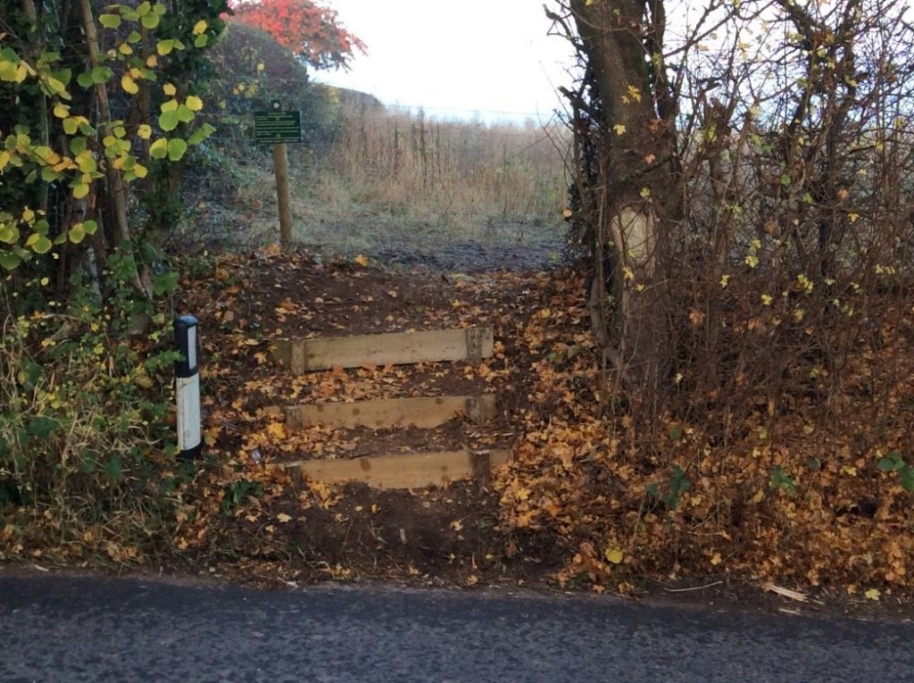
Steps have also been built at the South West end and all the landowner asks is that everyone obeys the conditions of use posted at either end of the footpath.
The local walkers have commented: “It’s a life saver and a game changer”.
Help needed
It is a popular misconception that a footpath marked on an Ordnance Survey is legally a right of way. This is not the case; all public rights of way, Footpaths, Bridleways and other exotica such as BOATS (Byways open to all Traffic) need to be registered on the official record called the ‘Definitive Map’ before the end of 2025. Otherwise missing rights of way will be lost. From 2026 it will no longer be possible to add or change the official record. The local ‘Definitive Map’ can be viewed on the Parish Council website http://www.bledlow-cum-saundertonparishcouncil.org.uk
So please take a look at the map and report any missing paths or anomalies. As you walk around the Parish also let us know if a path is unwalkable, obstructed or signposted inappropriately.
Footpaths Contact
Email footpaths@bcspc.org
Or phone the Parish Clerk on 07843 975 097.
Additions and changes can take months to resolve, even years when contentious, so time is running out. Please help us if you can. So far we have checked 26 paths, identified 7 issues including one ‘disappeared path’ leaving about 65 paths that need walking and surveying. We’d particularly like to hear from you if you have a good historic knowledge of these areas or are prepared to walk the footpaths in:
- The SW Radnage side of Bledlow Ridge from Studmore Farm towards Chinnor Hill
- The area to the East of Perry Lane/Wigans Lane towards Saunderton
- Bledlow north of the B4009 including North Mill Road, Skittle Green, Holly Green and Pitch Green.